

The Summer Engineers Turned Off the American Falls
Contents5 sections
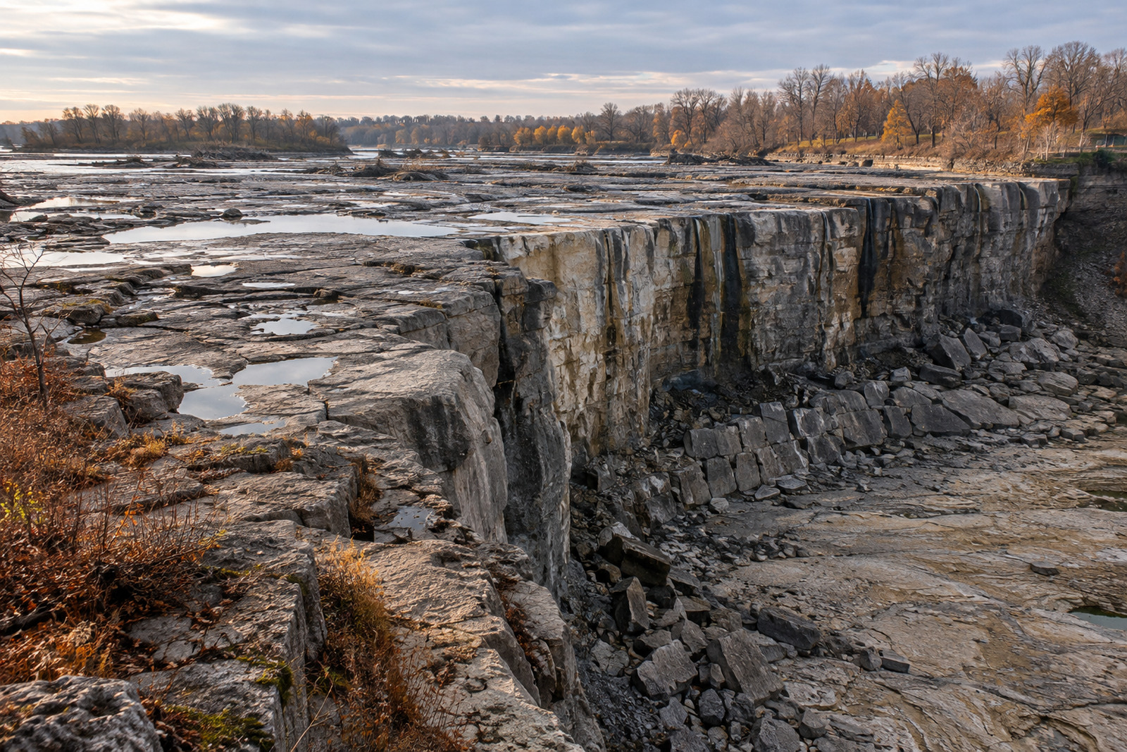
For five months in 1969, American Falls did not fall. The water was diverted around it, and the riverbed at its foot lay exposed to daylight for the first time in living memory.
The project began on June 9, 1969, when the US Army Corps of Engineers, acting at the request of the International Joint Commission, built a temporary dam of rock and earth across the upper Niagara River on the American side. The dam went up in three days, a short build for a structure meant to hold back an entire branch of the river. It stayed in place until November 25, 1969, cutting off American Falls for more than five months while the much larger Horseshoe Falls, on the Canadian side, carried the entire flow of the river.
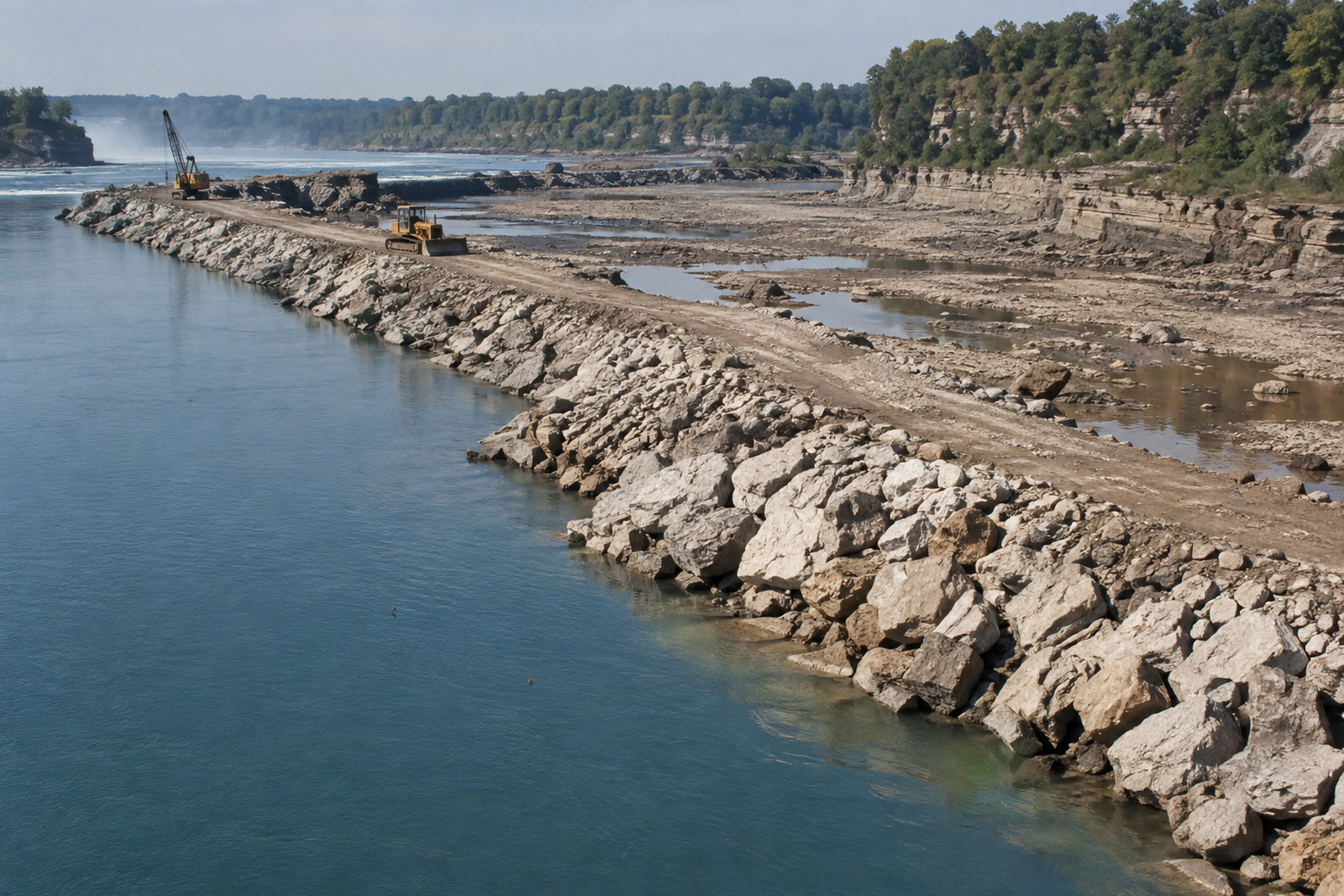
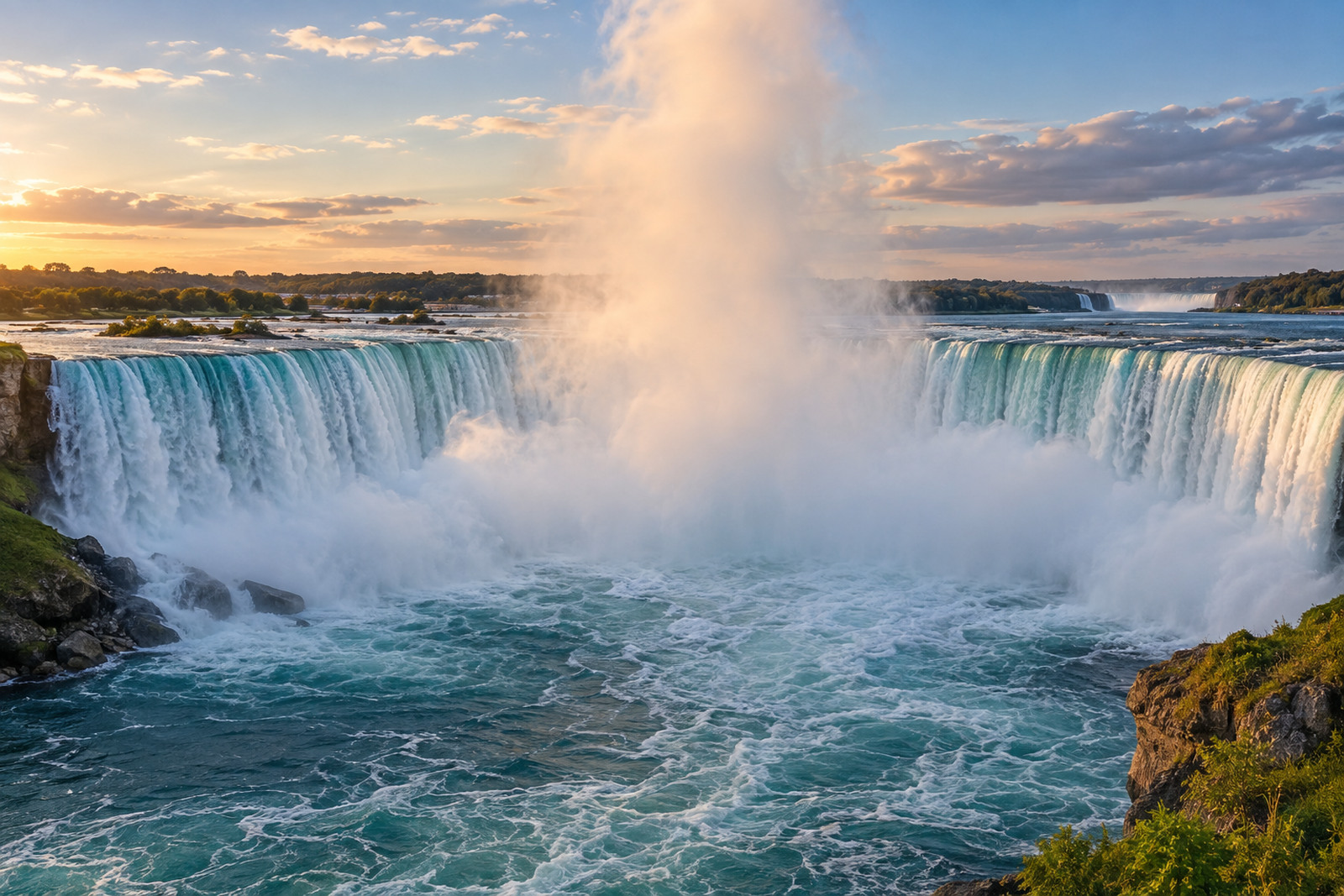
Visitors who had only ever seen American Falls as a sheet of white water found, that summer, a bare cliff and a dry slope where the river used to land. Horseshoe Falls, on the far side of Goat Island, kept running as usual, so the site was never silent, just oddly divided: full force on one bank, exposed rock on the other.
What the engineers were looking for
The falls were not switched off for a photo opportunity. A slope of broken rock, fallen from the cliff over centuries, had built up at the base of American Falls, estimated at 3.5 million cubic feet. Engineers worried it was undermining the cliff face itself, and the only way to inspect the rock behind it properly was to take the water away entirely.
Five months of bare rock
With the water gone, crews walked ground that had been underwater for thousands of years. They found fissures in the exposed rock face and bolted them, a direct structural repair rather than a cosmetic one. The work ran through the summer and into autumn, an unusually long window for a river that normally never stops moving, and it gave engineers a look at the cliff that no amount of surveying from a boat could have offered.
The decision that mattered most
The real news came at the end, not the beginning. Once the cliff was inspected and repaired, engineers had the option of clearing away the rock pile at the base. They chose not to. The decision was to leave the slope in place, to preserve the natural look of the falls rather than engineer a cleaner, steeper drop. On November 25, 1969, the dam came down and the river went back to its old course, rock pile and all.
That choice is part of why American Falls looks the way it does today. The height most visitors quote, close to 188 feet, is measured down to that same rock pile, not to the bare riverbed the 1969 crews walked on. The water genuinely falls a shorter distance, somewhere between 21 and 34 metres, before it lands on a slope that has sat there, undisturbed by design, since a decision made in 1969.
Why the Corps of Engineers, not a park authority
The project sat on the American side of an international river, so it fell to the US Army Corps of Engineers to build and staff it, working at the request of the International Joint Commission, the same body that oversees the treaty governing how much water flows over both falls in the first place. A shared river brings shared paperwork, even for a five-month construction project, and the Corps answered to a binational commission rather than to a single national park service.
What visitors see now
Today the coffer dam is long gone, and American Falls has run without interruption since November 1969. Nothing about the current view tells a visitor that the base was ever inspected by engineers standing on dry ground. The rock pile blends into the falls as a permanent feature rather than a leftover from a construction project, which was exactly the point of leaving it there.
It is worth remembering, too, that the falls a visitor photographs today are shaped by two different decisions from two different years: the 1950 treaty that still sets how much water reaches the brink, and the 1969 choice about what happens once that water lands. One controls the flow, the other controls the ground it falls onto, and both were made by engineers working across the same international boundary.
Most visitors on the observation deck have no reason to know any of this. The falls simply look like weather and geology doing what they have always done. The five dry months in 1969 are the one point where the machinery behind the view briefly became visible, walked on, photographed, and then quietly covered back up by the river itself.
Half a century later, the falls have run continuously since, but the ground under the water still carries the mark of that one dry summer: a slope of rock nobody moved, on purpose, still doing the job it has done since long before any engineer walked out to look at it.
Résumer cet article avec :
Partager :